Viewing Position Data
Screenshots in this document were captured from a non-standard account. Interface colours in standard accounts may differ, but all functionality remains the same.
View Current Position
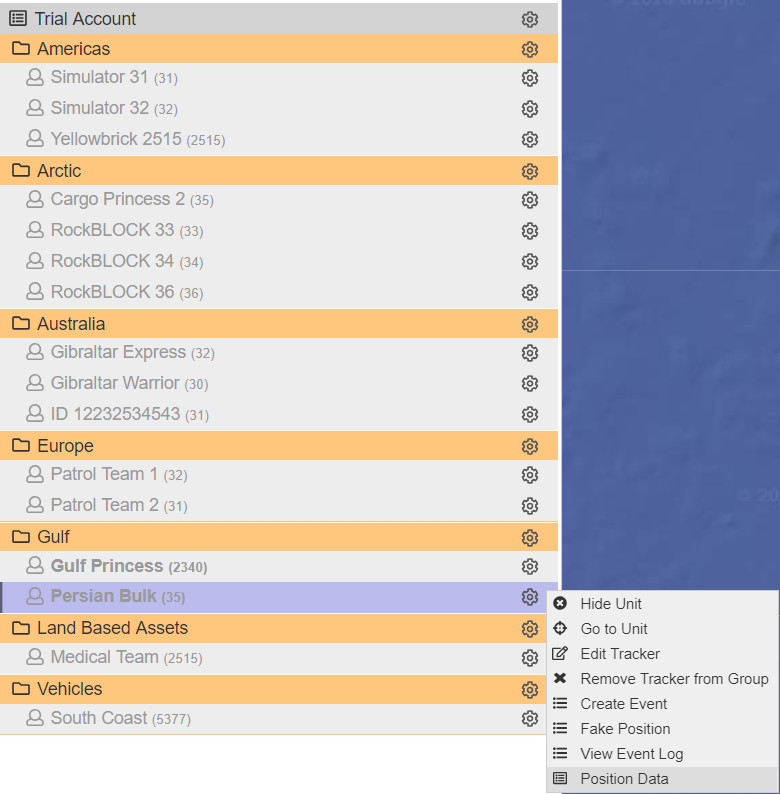
To view the current position of your tracker(s), expand the group containing the tracker(s) of interest, and then click on the tracker name(s). Their names will turn bold, indicating that they have been selected. For example, Gulf Princess and Persian Bulk.
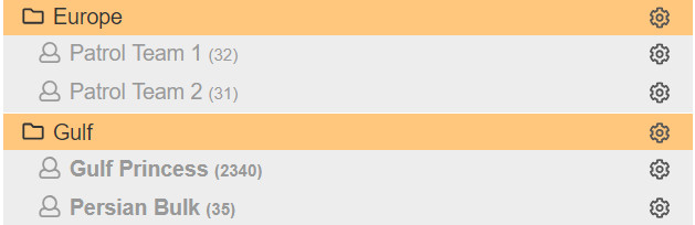
Each time a tracker is selected in the control panel, a marker pin will appear on the map. By clicking on the device name again, you can deselect it. You can also select/deselect additional trackers in the same way.
Visual Position Data
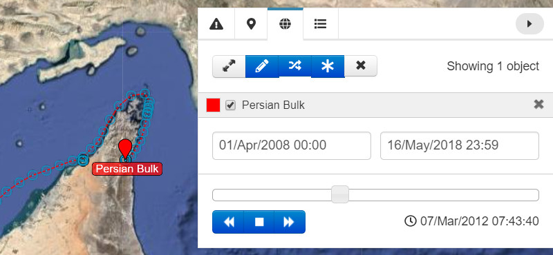
In the Map Controls tab of the Tools Panel, the selected tracker(s) will be listed.
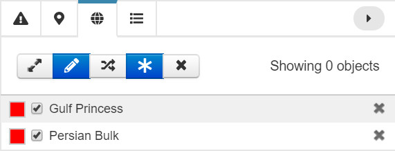
Press the Show/Hide Tracks button. This will reveal a second Positions From: and Positions To: window underneath.
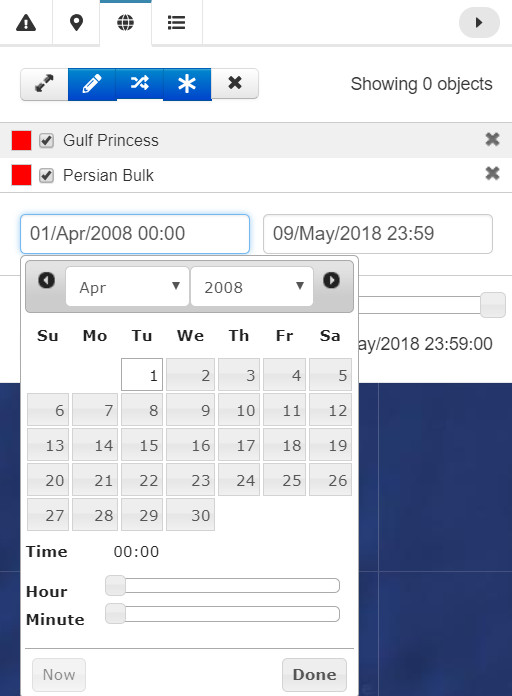
You can now view the position of your selected tracker(s) from and up to specific dates. Use the left drop-down calendar to enter the start date and the right drop-down calendar for the end date.
By moving the range slider to your desired date, you can see the positions of your tracker(s) at that time. You can use the left/right arrow keys beneath the slider to move the tracker’s position forwards or backwards in time.
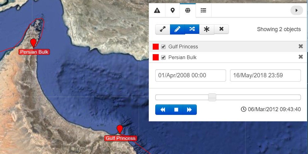
A tracker’s GPS fixes can be shown on the screen by selecting the Show/Hide position button.
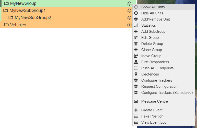
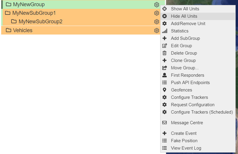
Show/Hide All Units
You can show/hide all of the trackers of a particular group by selecting Show All Units or Hide All Units.
Position Data in Table Form
To export your tracker’s position data in table format, click on the cog next to its name and select Position Data.
Set the date for each drop-down calendar, press Done for each date, and then press Filter to display the data.
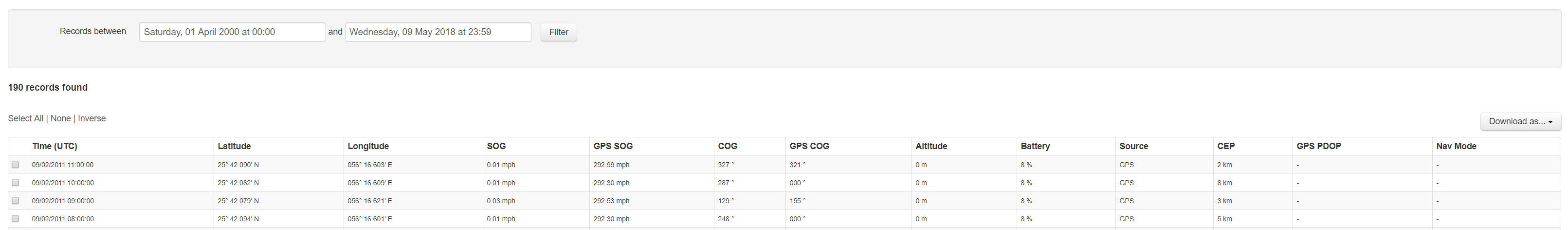
Your device's position data table includes the following information:
| Field | Description |
|---|---|
| Time (UTC) | Position timestamp |
| Latitude | Latitude of the position |
| Longitude | Longitude of the position |
| MGRS | Military Grid Reference System |
| OS Grid | Ordnance Survey Coordinates |
| SOG | Speed over ground (mph) |
| GPS SOG | GPS Speed over ground |
| COG | Course over ground (degrees) |
| GPS COG | GPS Course over ground |
| Altitude | Altitude of position (m above sea level) |
| Ext. Power | External power at time of transmission |
| Battery | Battery percentage at time of transmission |
| Source | Source of transmission coordinates (GPS or Iridium) |
| CEP | Circular error probability (km) (for Iridium Positions) |
| Temperature | Temperature at time of transmission |
| Reason | Reason for particular transmission |
| GPS PDOP | GPS Geometric Dilution of Precision (for GPS Positions) |
| Nav Mode | Type of GPS position acquired |
At the top right of the table, the Download As button allows you to export the data in the following formats:
| Export Format | Description |
|---|---|
| Excel Spreadsheet | Microsoft Excel XLS spreadsheet |
| KML File | Keyhole Markup Language file |
| GPX File | GPS eXchange Format file |
| CSV File | Comma-separated values file |